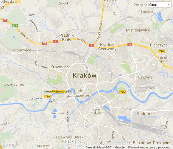
Google map
The form field is used for displaying a map with a location marked on it. The form field uses Google Maps API. One process can hold maximum 3 such form fields.
To learn more about configuring default values, read the ARTICLE available in the WEBCON Community website.
Advanced configuration
The window offers advanced configuration options for the Google map form field.
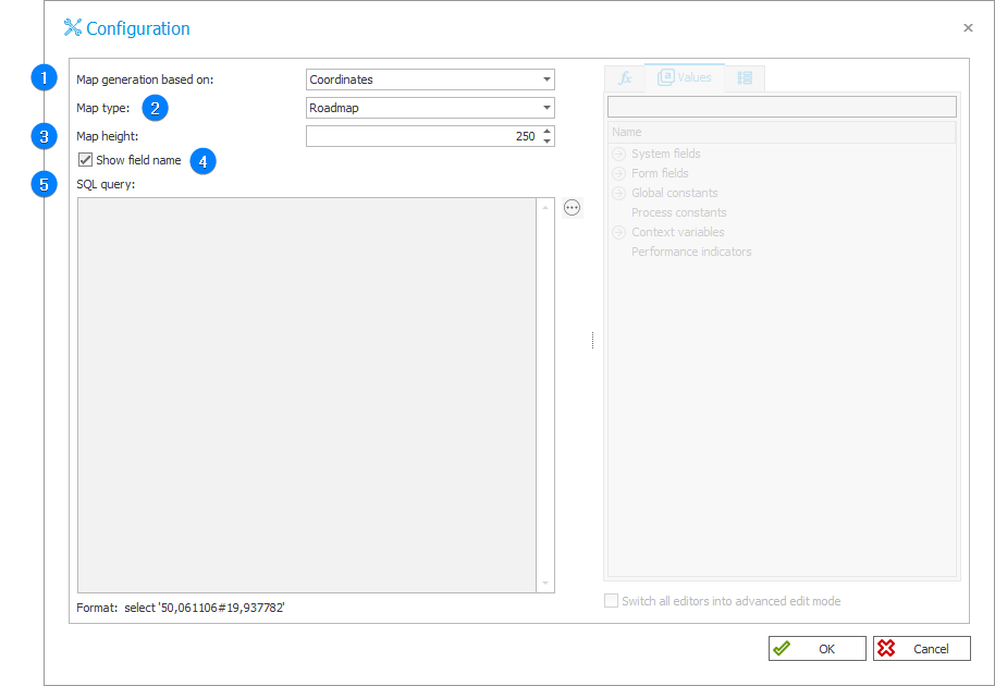
1. Map generation based on
The drop-down list allows you to select the method for determining location. There are three options available:
- Coordinates – user enters latitude and longitude in the edit mode,
- Address – user enters the address in the edit mode,
- Address (dynamic) – the value is set by additional text fields using the wizard.
In the case of the first two options the Google map is shown in the display mode, i.e. it shows the location according to the coordinates or the address entered in the edit mode. If you choose the third option, the map is visible both in the edit and view modes.
You can change the position of the map on a regular basis by generating a postback from a form field assigned to it.
2. Map type
Allows you to choose a default map type from the ones provided by the Google Maps API.
The following map types are available:
- Roadmap (normal)
- Satellite
- Hybrid
- Terrain
3. Map height
Specifies the height of the map in pixels. The default height is 250 px.
4. Show field name
When checked, the form field name is displayed next to the map.
5. SQL query
The field is active when the Address (dynamic) option is selected in the Map generation based on field. It permits dynamic definition of the address using an SQL query.
Example